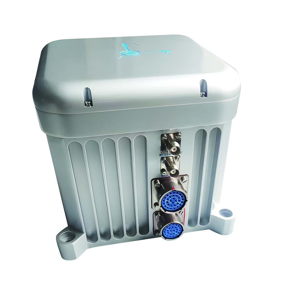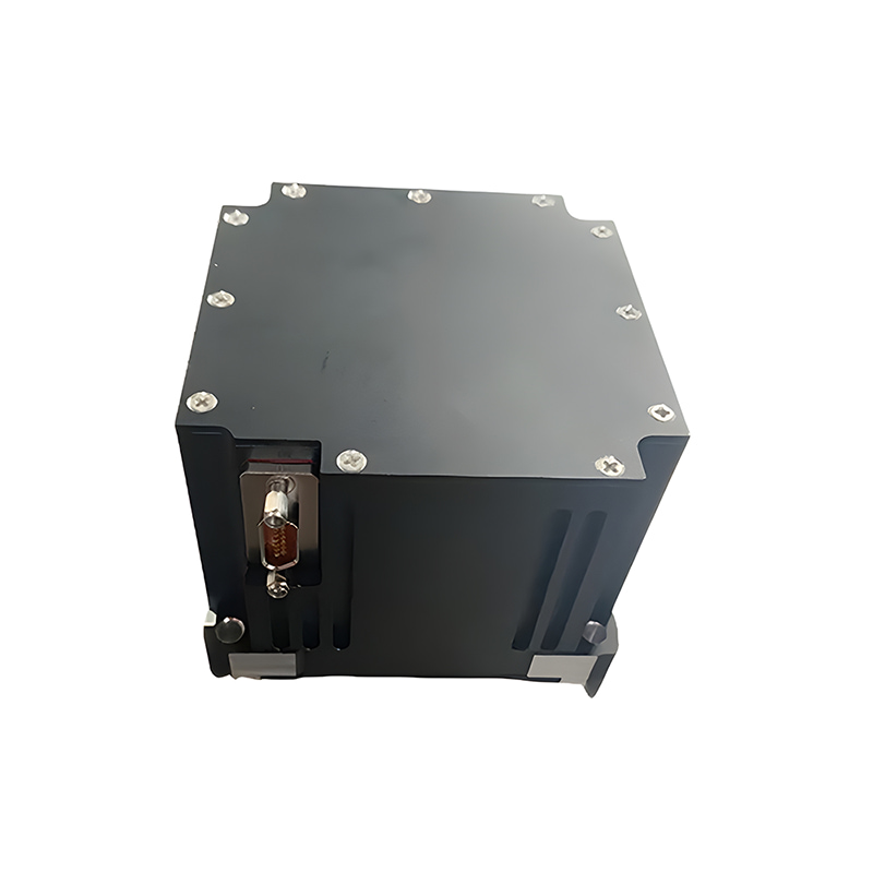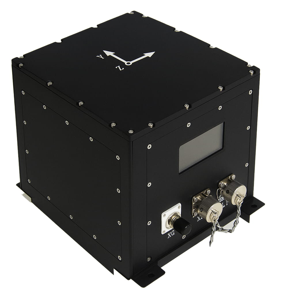
Инерциальная навигационная система M5700 с волоконно-оптическим гироскопом для морских изысканий.
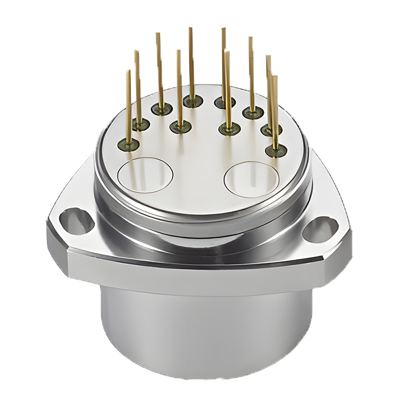
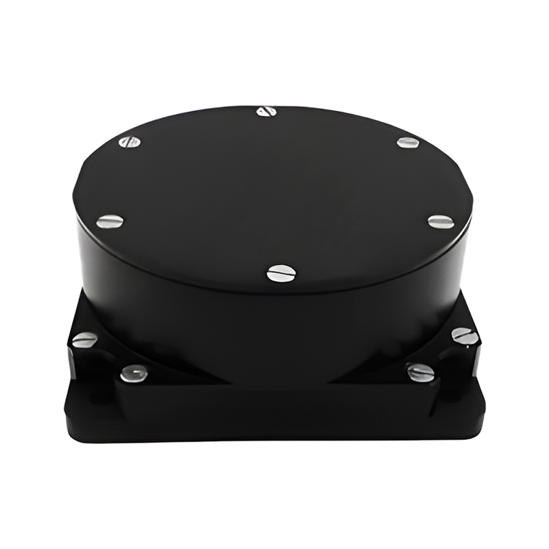
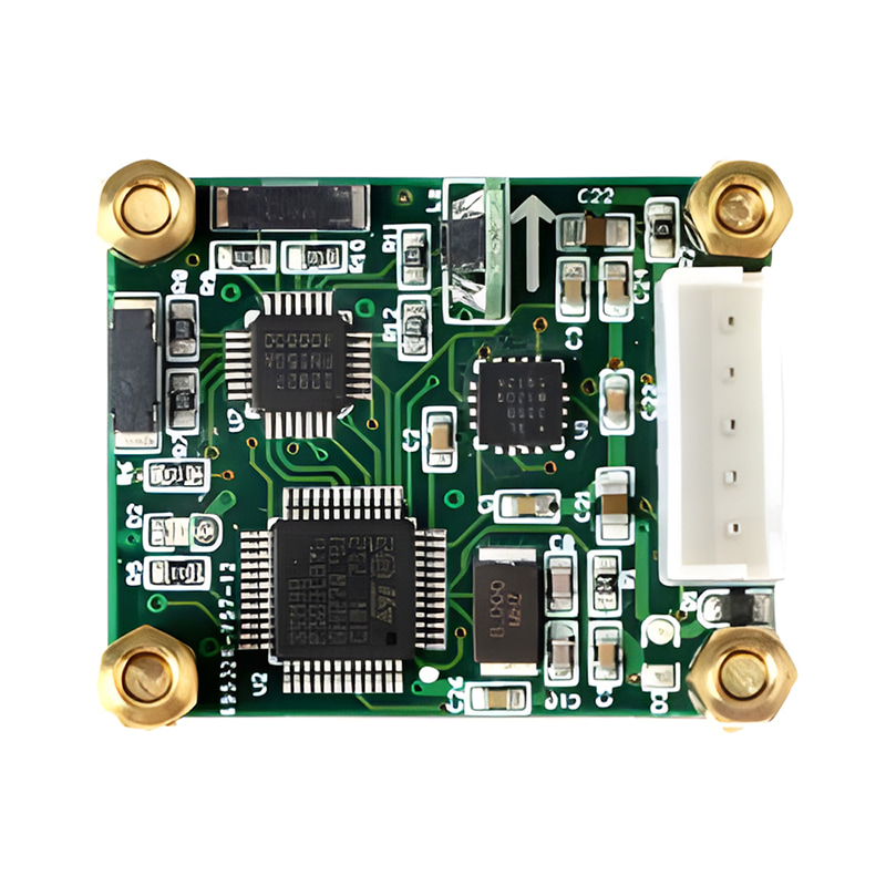
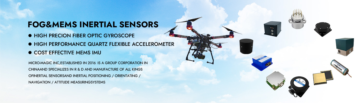
Оптическая волоконно-оптическая инерциальная навигационная система M5700 в основном состоит из интегрированного оптического волоконного гироскопа, кварцевого гибкого акселерометра, модуля питания, модуля сбора и обработки данных, модуля спутниковой навигации и т. д. Она отличается малыми размерами, малым весом и высокой точностью и подходит для малых и средних БПЛА, фотоэлектрических модулей, подводных носителей и других применений. Основные характеристики следующие:
Обладает высокой точностью наведения на север;
Чистая инерция, комбинация инерции и спутников, комбинация инерции и доплеровского измерительного прибора, комбинация инерции и пройденного расстояния, комбинация инерции и визуального контроля, морской компас и т. д.;
Она обладает такими функциями, как самонаведение на север, выравнивание линии электропередачи, выравнивание подвижной базы с помощью спутниковых данных, высокоточная постобработка и измерение вертикальных колебаний;
Встроенный амортизатор, способный адаптироваться к вибрационной среде;
Встроенная карта памяти, способная хранить данные измерений, которые можно считывать через USB или сетевой порт;
Встроенные многочисленные протоколы связи, скорость передачи данных через последовательный порт, возможность настройки протокола вывода.
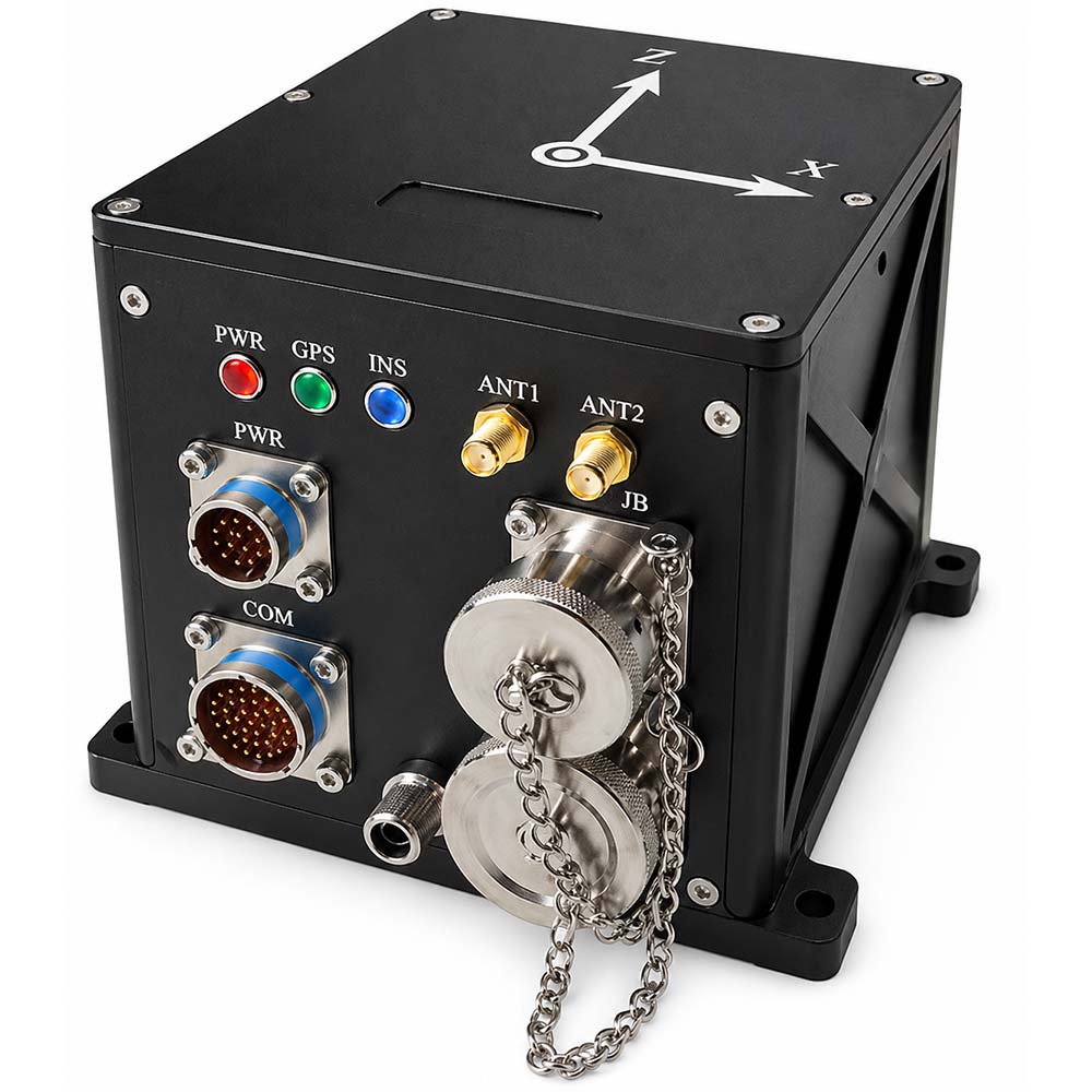
Имеет множество интерфейсов, таких как RS422, RS232, Ethernet, ввод/вывод PPS и т. д.
Рабочая температура: -45 ℃~+60 ℃
Питание: 12 В ~ 36 В, потребляемая мощность. < 15 Вт
Номер детали, :
M5700Минимальный объем заказа (MOQ) :
11. Технические характеристики изделия
| Элемент | Технические параметры | |
| Точность направления | Статическая центровка: (1σ) "0,08° секφ" (1σ) | |
| Встроенная навигация: 0,02° (1σ) | ||
| Удержание по чистой инерции: 0,02°/ч (1σ) | ||
| Встроенная функция удержания курса: 0,01°/ч (1σ) | ||
| Точность определения горизонтального положения | Точность выравнивания: 0,005° (1σ) | |
| Чисто инерциальная навигация: 0,02° (среднеквадратичное значение) | ||
| Встроенная навигация: 0,005° (1σ) | ||
| Точность скорости | 0,02 м/с (среднеквадратичное значение, встроенная навигация) | |
| 1,5 м/с (среднеквадратичное значение, чистая инерция в течение 1 часа) | ||
| Точность позиционирования | Горизонтальная ориентация ≤ 1,5 м, высота ≤ 2,5 м (среднеквадратичное значение, спутниковое позиционирование по одной точке и интегрированная навигация, хороший сигнал); | |
| Горизонтальная погрешность ≤ 1,5 см + 1 ppm, высота ≤ 2,5 см + 1 ppm (среднеквадратичное значение, спутниковая RTK-навигация, хорошая связь). | ||
| 0,3% D (комбинация инерции и пробега, где D — пройденное расстояние) | ||
| 0,3% D (инерциальная/DVL-навигационная система, D — пройденное расстояние, точность DVL 0,3%) | ||
| 2 нм (CEP, чистая инерция в течение 1 часа) | ||
| Точность качки | 5 см или 5% H, в зависимости от того, что больше. | |
| Время выравнивания | < 5 мин (выравнивание стационарного основания на земле) | |
| < 10 мин (гидростатическое выравнивание основания в воде) | ||
| < 15 мин (выравнивание подвижного основания) | ||
| Гиро | Диапазон измерений | 500°/с |
| Стабильность при нулевом смещении | 0,02°/ч (в среднем за 10 секунд) | |
| Коэффициент случайного блуждания | 0,001°/ч1/2 | |
| Нелинейность масштабного коэффициента | 10 ppm (1σ) | |
| Аксель | Диапазон измерений | 30 г |
| Ежемесячная повторяемость смещения | 20 мкг (1σ) | |
| Коэффициент масштабирования, ежемесячная повторяемость. | 20 ppm (1σ) | |
| Рабочая температура | -45℃~60℃ | |
| Электромагнитная совместимость | Соответствовать требованиям GJB151B | |
| Интерфейс | RS422, RS232, USB, Ethernet, PPS вход/выход | |
| Источник питания | Питание от источника постоянного тока 24 В, может работать от 12 В до 36 В. | |
| Потребление электроэнергии | <15 Вт | |
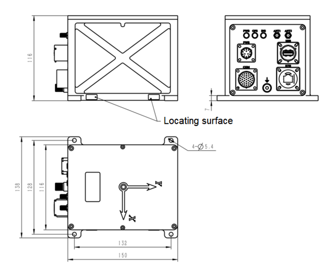
| Внешние размеры | 150×116×116 мм (без учета разъемов и крепежных элементов) | |
| Масса | 2,6 кг | |
| Без дополнительных функций | Внутренний или внешний модуль спутникового позиционирования является опциональным. | |
2. Размеры изделия

Xml политика конфиденциальности блог Карта сайта
Авторские права @ Микро-Магия Инк Все права защищены.
 ПОДДЕРЖИВАЕТСЯ СЕТЬ


 русский